|
|
|
|
|
|
|
|
|
|
|


GALLERY
OF DESIGNS — click
a thumbnail for a larger version
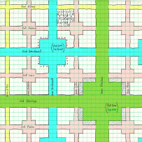
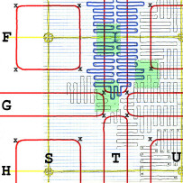
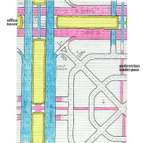
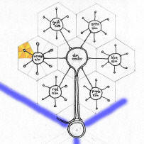
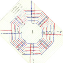
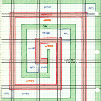
Streets
![]()
![]()
![]()
![]()
![]()
![]()
![]()
![]()
![]()
![]()
![]()
![]()
![]()
![]()
![]()
![]()
|
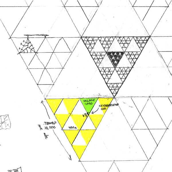
Finally, here's a land-use plan that combats the loss of farmland to ever-growing suburbs. By grouping buildings into compact Neighborhoods (such as the small black triangles in the center of the drawing), the plan achieves a density of over 14,000 people per square mile while leaving 75% of the land available for cultivation.
(TEXT
CONTINUED BELOW) The basic unit is the Town, the yellow-and-white triangle one mile on a side. Each Town is divided into 16 smaller triangles 400 meters on a side. Only the ten triangles shown in color are developed. They're called Villages; one is shown in green. The other six white triangles, each containing 17.3 acres, can be used for small agricultural fields. Each Village is likewise subdivided into 16 smaller triangles: ten Neighborhoods and six one-acre gardens. A neighborhood, 100 meters on a side, contains one or more multi-story buildings for apartments, condominiums, retail stores, and so on. It is designed for 100 residents. Therefore, a Village of ten Neighborhoods has a population of 1,000 (green triangle), and a Town of ten Villages has a population of 10,000. Ten Towns are grouped together to form a 100,000-population Borough, four miles on a side (slightly larger than this drawing). The Borough also includes six large 277-acre farms interspersed among its ten Towns. Within the seven square miles of the triangular Borough, (10/16)3 or less than 25% of the land is used for Neighborhoods and their buildings. The rest is fields and gardens. |