|
|
|
|
|
|
|
|
|
|
|

GALLERY
OF DESIGNS — click
a thumbnail for a larger version
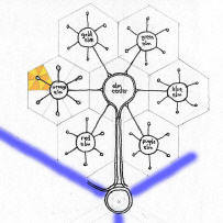
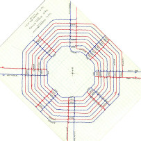
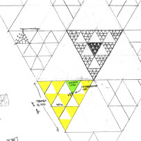
Streets
![]()
![]()
![]()
![]()
![]()
![]()
![]()
![]()
![]()
![]()
![]()
![]()
![]()
![]()
![]()
![]()
|
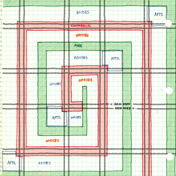
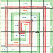
Here we start with a grid consisting of pairs of one-way streets (dark gray lines). Then the land is zoned in a spiral pattern. The red area is for retail; it consists of a strip of paired commercial streets running in opposite directions, rather like Fifth and Forbes Avenues in the Oakland section of Pittsburgh. The green area is a linear park, passing through the center of every large block. That leaves two white spirals between the red and the green. One of them starts at the very center of the plan with city offices (orange letters), then continues outward with other offices and businesses. The other white spiral starts one block outside the city center; it is zoned residential (blue letters). With this intertwining, every home and every business is no more than a block away from both the retail strip and the park.
|