|
|
|
|
|
|
|
|
|
|
|

GALLERY
OF DESIGNS — click
a thumbnail for a larger version
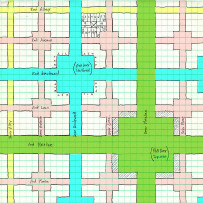
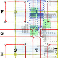
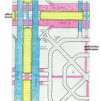
Streets
![]()
![]()
![]()
![]()
![]()
![]()
![]()
![]()
![]()
![]()
![]()
![]()
![]()
![]()
![]()
![]()
|
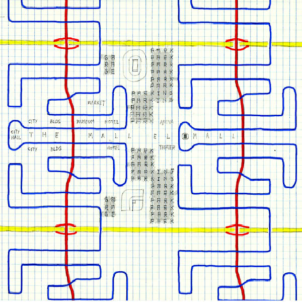
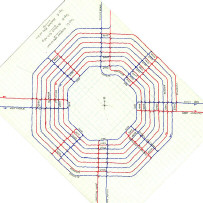
The traffic arteries for this sprawling city also fall into four ranks: 60 mph freeways, 45 mph boulevards, 30 mph streets, and 5 mph driveways. The east-west freeways, shown in yellow, parallel each other a mile apart. Their interchanges connect them to north-south boulevards, shown in red. The freeways pass underneath the boulevards so that gravity accelerates cars going down the on-ramps and slows cars coming up the off-ramps. Every 500 feet or so along each four-lane boulevard, there is an intersection with a street, shown in blue, which keeps crossing and re-crossing the boulevard. And it is only on these streets that one finds the entrances to driveways and parking lots.
(TEXT
CONTINUED BELOW) This particular square mile includes the civic center, with one-of-a-kind buildings like City Hall and the sports stadiums and arenas. Their parking facilities, shown in gray, connect with different parts of the street system so that traffic can leave major events in several different directions. In the corresponding areas of other square miles of the city, there might be parks or factories. A boulevard and the street that crosses it have the same name. All numerical addresses refer to distances along the street. For more visibility, retail businesses and other high-traffic destinations are generally located near a street/boulevard intersection, while residential areas are farther down the block for more privacy. |